Static images tell buyers a property exists. Interactive 3D lets them understand it — whether it’s raw acreage or a finished home — and in today’s market, that difference is what closes the deal.
Every property listing starts with the same problem: the buyer isn’t standing on the property and often won’t be before they decide. For rural land and out-of-state parcels, that’s simply the norm — but it’s increasingly true for homes, too, as more buyers shortlist, and even make offers, entirely online. The buyer evaluating your listing is doing it from a laptop, and the only thing between your inventory and their decision is what you put on the screen.
For years, that has been a flat image. A photo, an outlined boundary, a map view, a handful of interior shots. It documents that the property exists. What it doesn’t do is let the buyer understand it — and understanding is what moves a deal.
There’s a better standard now, and buyers already expect it: let them explore the property themselves, in three dimensions, on their own terms.
Buyers explore before they engage — and the data isn’t subtle
The shift toward interactive, explore-it-yourself listings isn’t a land-specific trend. It has reshaped real estate across the board, and the numbers are remarkably consistent.
Even in residential real estate, where buyers still tour homes in person, the majority now find the property online first — 52% of buyers found the home they purchased online, according to the National Association of Realtors’ 2025 Profile of Home Buyers and Sellers, with the search process most often beginning there. Once buyers are online, interactive listings dominate their attention. Industry research shows listings with 3D tours receive roughly 87% more views than those without, and buyers spend five to ten times longer exploring them. More telling still: most buyers now say they won’t seriously consider a listing that doesn’t let them explore — and in one widely cited study, 63% of buyers made an offer on a property they had never physically visited, relying on the interactive experience and online information alone.
Put simply, the market has already decided. Buyers reward listings they can explore and skip the ones they can’t. The global market for immersive property experiences is projected to grow at more than 30% a year through the end of the decade — this isn’t a passing feature; it’s the direction the entire industry is moving.
A flat image fails land worst — and shortchanges every home, too
Land is the extreme case. A house at least has walls, rooms, and a yard a buyer’s imagination can fill in. A parcel doesn’t. Its value lives in exactly the things a flat image erases: the slope, the road frontage, the buildable area, the way the ground sits and how big it really feels.
Show a buyer a top-down image and every one of those questions goes unanswered. Is it steep? Where’s the access? Is that green a stand of usable trees or a low, wet corner they can’t build on? How does five acres feel to stand in the middle of? The buyer can’t tell — so they hesitate, they email a dozen questions, or they simply move on to a listing that shows them.
Homes have the same blind spot, just less obviously. Interior photos show the kitchen and the bedrooms, but they can’t show how the house sits on its lot, how steep the driveway is, how private the backyard really is, what shares the fence line, or what the street and the surrounding neighborhood feel like. Those are the questions that decide whether a buyer books the showing — and a gallery of staged rooms leaves every one of them open.
That’s the opportunity. Flat images fail land worst and shortchange homes quietly, so for either one, letting buyers explore in 3D is the fastest way to stand out. The seller who hands a buyer a property they can rotate, zoom, and study isn’t just keeping up — they’re leaping past every competitor still posting screenshots.
What “exploring in 3D” does for a buyer
When you let a buyer explore a property in true, interactive 3D, three things happen that a static image can never accomplish.
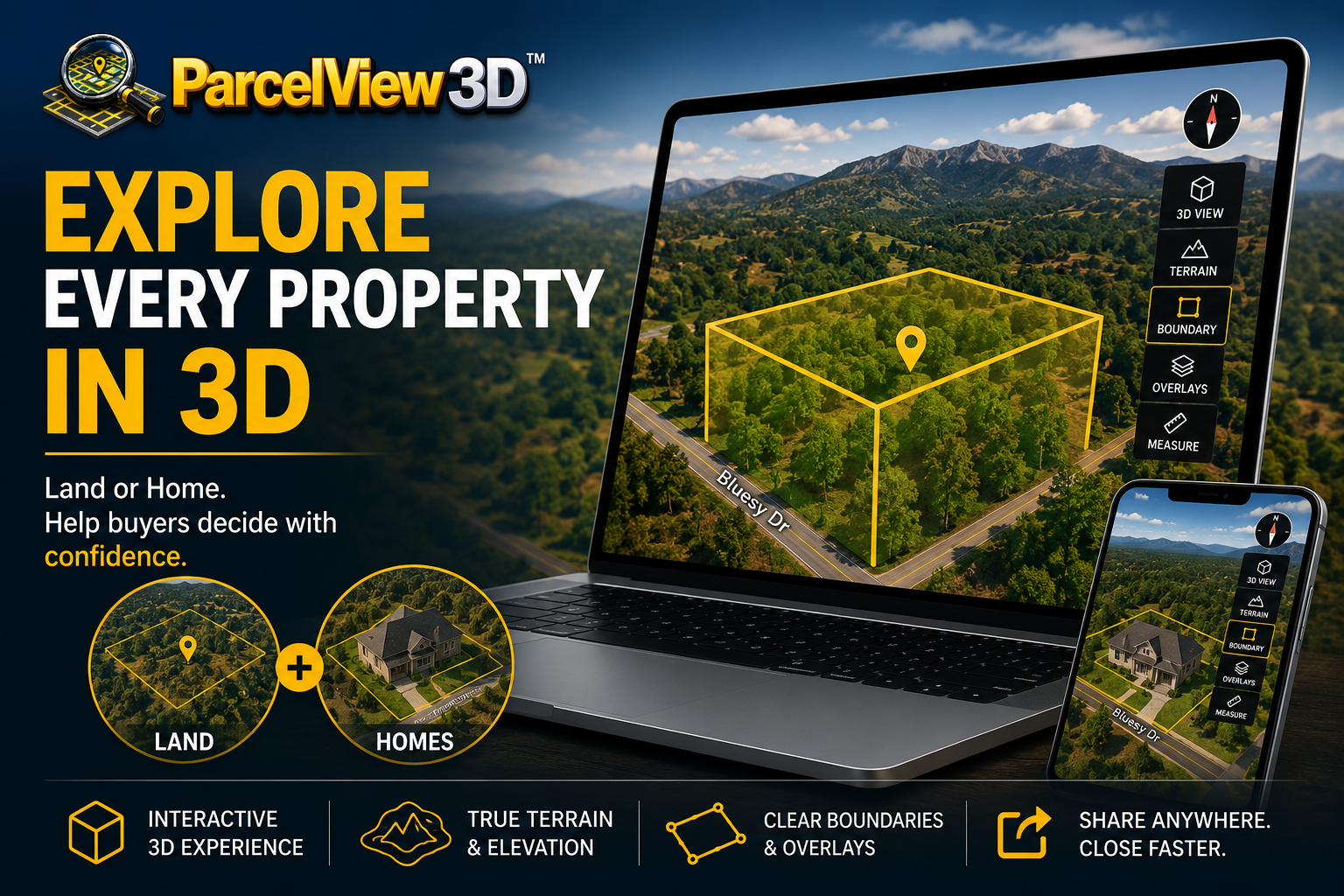
First, they answer their own objections. Instead of emailing to ask whether the back half floods, how steep the grade is, or how big the yard is, they tilt the view and see for themselves. Overlays for terrain, boundaries, and site features let them check what matters before they ever pick up the phone. The listing does the qualifying for you.
Second, they build an emotional connection. Buyers who spend minutes exploring a property — instead of seconds glancing at a photo — start picturing themselves there. That’s how confidence and a sense of ownership form, and it’s why interactive listings hold attention so much longer.
Third, they self-select. The tire-kicker bounces. The serious buyer who wants to understand the slope, the access, the lot, or the neighborhood stays, explores, and arrives at your inbox already half-sold. You spend less time answering basic questions and more time closing people who are ready.
Purpose-built for the whole property — land and homes alike
Its worth being clear about what this is and isn’t. Residential 3D-tour platforms like Matterport changed how houses are marketed, and they’re excellent at what they were built for: walking a buyer through the inside of a finished home. But that’s precisely their limit — they require someone to physically scan a standing structure, room by room, and they stop at the front door. Point one at raw acreage and there’s nothing inside to walk through and nothing built to scan.
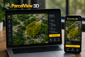
ParcelView3D was built to show the property itself — the terrain, the elevation, the frontage, the shape of the parcel, and how it all sits in the real world — in photorealistic, fully interactive 3D, with no structure to scan, no equipment to haul, and no site visit required.
And that same purpose-built engine powers home listings just as well. ParcelView3D showcases a residential property in its full, real-world setting — the house, the lot it sits on, the street, and the surrounding neighborhood — as an interactive 3D experience buyers can explore from any angle. It’s the context a room-by-room interior tour can’t give how the home sits on its land, how big the yard really is, what’s next door, and how the whole property feels. Whether you’re selling raw acreage, a build-ready lot, or a finished home, it’s one platform for the entire property — not a home-tour tool stretched to cover land, and not a land tool that quits at the property line.
It was designed from the ground up for how property sells — dirt and structures together. For land investors, ADU builders, developers, home sellers, and the agents who serve all of them, that difference is everything.
The payoff shows up on your bottom line
This isn’t visualization for its own sake. Letting buyers explore your property translates directly into the numbers that matter to a seller or an operator.
Listings buyers can explore move faster, and faster turns mean you recycle capital into the next deal instead of watching inventory sit. They attract better-qualified leads, because the buyer who fills out your form has already toured the property and knows what they’re looking at. And they hold up on price — a buyer who understands exactly what they’re getting doesn’t discount for uncertainty the way a buyer squinting at a screenshot does.
If you’re running a lean operation, the leverage is even greater. The Land Marketing Stack for a One-Person Operation and Your Camera Is Lying About Your Land dig into how solo sellers use better presentation to compete with far larger teams — and why the flat photo is quietly the most expensive habit in the business.
From a single listing to a full storefront
Exploring in 3D isn’t limited to one property at a time. Every listing can become a shareable, mobile-first landing page — a PropCard with the interactive viewer, photos, pricing, and a built-in lead form, ready to drop on your site, text to a buyer, or turn into a QR code on a yard sign. Bring your whole portfolio together — land and homes side by side — and it becomes a branded storefront buyers can browse like an online showroom. (See PropCards vs. Traditional Flyers for why the shareable, interactive card outperforms the printed handout every time.)
And if you’d rather not build it yourself, PV3D’s Done-For-You service produces the ad-ready creative for you — while your subscription keeps the live, explorable listings running on your own site.
Getting started is easier than taking the screenshot ever was
Here’s the part that surprises people: putting a listing into interactive 3D is faster than the old way. There’s no drone to fly, no photographer to hire, and no Saturday spent driving to the property. You start from an address or parcel number, and ParcelView3D builds the interactive 3D listing automatically — ready to embed, share, or syndicate in minutes.
If you want to see it end to end, How to Set Up Your Free ParcelView3D Trial walks through it from signup to your first live listing in under ten minutes. And one tool built for land vs. everything else you’ve tried lays out how a single purpose-built platform replaces the patchwork of drone media, marketplace photos, and mapping tools most sellers have cobbled together.
Stop showing your property. Start letting buyers explore it.
The screenshot made sense when it was the best you could cheaply do. That era is over. Buyers now expect to explore a property before they engage, and the entire market — land and homes alike — rewards the listings that let them. Land is where flat images fail worst, but a home gains just as much the moment a buyer can see it in its real setting. The tools to do it are faster and easier than what you’re doing today.
Give buyers more than a screenshot. Hand them the property — the land, the home, the whole picture — and let them explore it in 3D, then watch which listings they come back to twice.
Start your free 7-day trial · See pricing · Book a 15-minute demo
Sources: National Association of Realtors, 2025 Profile of Home Buyers and Sellers; industry research on 3D and virtual-tour engagement and buyer behavior (2025).