A step-by-step walkthrough — from signup to your first live 3D listing, in under 10 minutes. No credit card required.
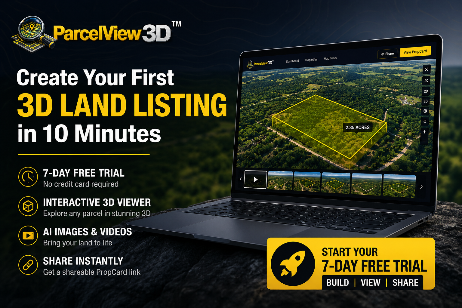
Most land sellers are still marketing acreage the same way they market a house: a handful of flat photos, a price, and a hope that the buyer figures out the rest. The problem is that flat photos can’t show slope, road frontage, tree cover, or how a parcel actually sits on the land. ParcelView3D fixes that by turning any parcel into an interactive 3D listing that buyers can explore themselves — and the fastest way to see it work on your own inventory is the 7-day free trial.
This guide walks you through the entire setup, start to finish. Follow along and you’ll have a live, shareable 3D property listing before your coffee gets cold.
What You Get in the 7-Day Trial
Before you start, here’s exactly what the trial includes — no gotchas, no card on file:
- 3 properties you can build out in full
- 300 3D views across your listings
- Interactive 3D viewer with cinematic flyover
- Video recording with narration
- 3 AI concept images
- 1 AI cinematic property video
When the seven days are up, nothing gets charged and nothing gets deleted. Your account stays put — paid features simply pause and your listings hide from public view until you choose a plan. You decide when, and whether, to upgrade.
Step 1:
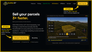
Click the “Start 7-day Trial” button in the top navigation bar, or the large “Start your 7-day free trial” button in the hero section.
Step 2:
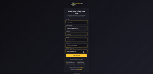
Fill Out Your Account Details
Step 3:
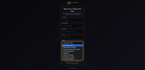
Choose Your Business Type
Step 4:
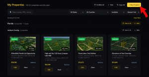
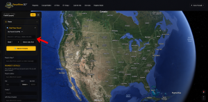
Click Add Property. All you need is an APN (parcel number). Enter it, confirm the parcel that comes back, and ParcelView3D assembles the boundaries, terrain, and property data for you.
Step 5:
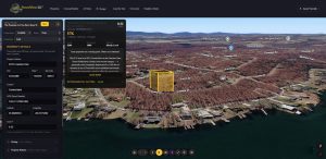
Review Your 3D Listing
Step 6:
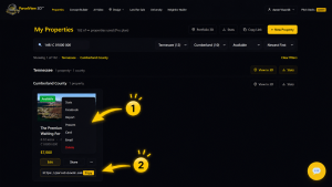
Share or Embed It
Why This Beats a Standard 3D Tour Tool
If you’ve used a residential 3D tour product before, the difference is immediate. Those tools are excellent at what they were designed for — walking a buyer through the inside of a finished house — but that design assumption works against you on raw land. They typically expect a physical capture session on site, and they have nothing meaningful to say about slope, road access, wetlands, or acreage. ParcelView3D was built by a land investor for land: you fly over the parcel instead of walking through a hallway, the terrain and boundary data show up on their own, and the overlays answer land questions specifically. For anyone selling acreage, that’s the difference between a tool you adapt and a tool that already fits.
Trial Checklist
| Task | Why it matters |
| Register | Takes under two minutes; no card required. |
| Pick business type | Sets your labels, badges, and pricing language. |
| Build 3 listings | Test your best, worst, and hardest-to-photograph parcels. |
| Share a PropCard | Put a real link in front of real buyers and watch the analytics. |
Ready to Start?
Head to parcelview3d.com/register, spend ten minutes, and put one live 3D listing in front of a buyer this week. Seven days is enough to know whether it moves your parcels faster — and if it doesn’t, you walk away. No card, no chase.