Ask anyone in real estate what changed in 2026, and the answer is the same: artificial intelligence stopped being a science project. Industry trackers now report that the share of commercial real estate firms running AI in live production has climbed past 90% — up from roughly one in twenty just three years earlier — and surveys of brokerage leaders find nearly nine in ten say their teams reach for AI tools every day. The market backing that shift is enormous, sized in the hundreds of billions and projected to compound north of 30% a year, with proptech funding rebounding hard on the strength of AI-native platforms.
Here’s what the headlines miss, though. Almost all of that energy has been pointed at finished homes and institutional portfolios. The land world — where a buyer is squinting at raw acreage they’ve never set foot on, trying to decide whether to wire money — has been the last to benefit. And land has always been the harder sale, precisely because the buying journey is full of gaps: places where the buyer’s questions outrun the information a listing can give them, and the deal quietly dies. What’s finally interesting in 2026 is that AI, applied specifically to land, is closing those gaps one by one. Let’s walk through them.
The visibility gap: seeing ground you can’t visit
The first and widest gap is simply seeing the land. A house mostly explains itself in photos. A parcel doesn’t. Slope, elevation, road frontage, where the buildable ground begins, whether half of it disappears into a floodplain — none of that reads from a flat aerial shot. A single ground-level photo can even actively mislead, turning perfectly good land into what looks like an impassable wall of brush, a trap we picked apart in Your Camera Is Lying About Your Land.
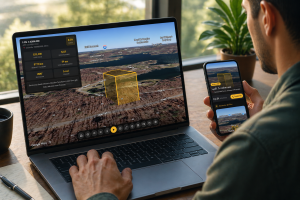
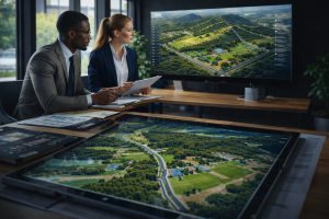
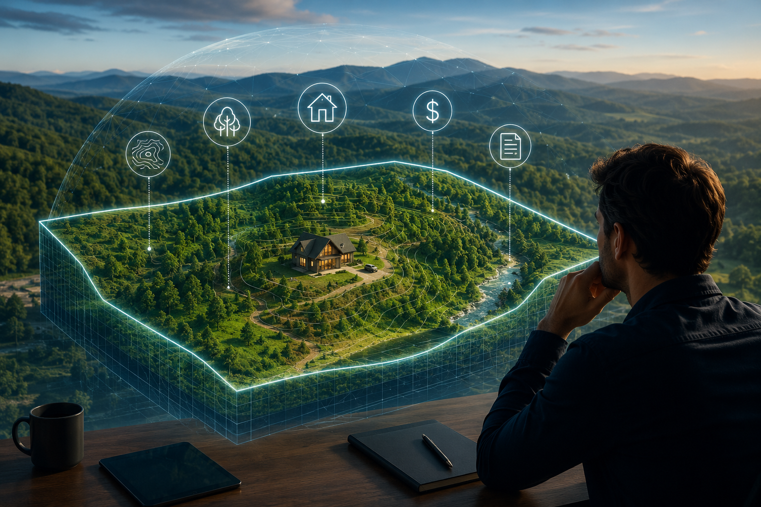
The most consequential AI trend of the moment speaks straight to this. Alongside the text tools everyone knows, the field is shifting toward spatial AI — systems trained on how the physical world actually looks and sits, rather than only on words. Land is a spatial problem by nature, which is exactly why a purpose-built 3D experience closes the gap that generic tools can’t. ParcelView3D renders the real parcel — true terrain, real elevation, accurate boundaries — and then layers the answers directly onto it, so slope, access, and site constraints become things a buyer can read at a glance instead of questions they email you late at night. The buyer completes their own due diligence inside the listing and moves forward already convinced.
The imagination gap: from “raw dirt” to “my place”
Seeing the land is step one. Buying it usually turns on something harder to show: what the land could become. Nobody wires money for dirt — they wire it for the cabin, the homestead, the off-grid escape they can picture standing there. Bridging that leap of imagination is where generative AI has made its biggest noise, and where the quality difference between tools matters most.
It’s tempting to reach for a general-purpose AI assistant here — to ask a chatbot to “imagine a home on this land.” And for generic advice, those tools are genuinely useful. But a general AI assistant has never seen your parcel. It can describe a dream in words or conjure a picture of a place that doesn’t exist, with the wrong terrain, an invented tree line, and a slope it made up on the spot. It can’t render the actual ground, and it can’t hand a buyer something grounded enough to act on. That’s the ceiling of a general tool pointed at a specific problem — the exact case for using one platform built for land instead, which we argued in one tool built for land vs. everything else you’ve tried.
ParcelView3D handles imagination the honest and more persuasive way: its AI concept renderings are placed on the real parcel — the actual terrain and boundaries of that specific property — so the buyer sees a believable vision of this land, not a fantasy stitched onto an imaginary hillside. That distinction is becoming a legal one, too. New disclosure rules — California’s listing-image law took effect in January 2026 — now require sellers to flag AI-altered visuals and link to the unedited original, drawing a bright line between deceptive photo edits and legitimate, clearly-labeled concepts grounded in reality. Being on the right side of that line isn’t just compliant; it’s what earns a remote buyer’s trust.
The feasibility gap: turning “what would it cost?” into a number
Right behind “can I build here?” comes the question that kills more land deals than any other: “what would it actually cost to build?” For years the buyer had no way to answer without a stack of contractor cold-calls and a lot of guessing — so plenty of them just walked. AI is collapsing that friction. The same automated-estimation techniques that pushed home-valuation error rates down into the low single digits, from the double digits just a few years back, are now aimed at build-cost feasibility, handing buyers a credible number in seconds instead of weeks.
ParcelView3D’s Cost Estimator does precisely that for land, swapping guesswork for a fast, parcel-aware estimate — we put it head-to-head with the old approach in PV3D’s Cost Estimator vs. cold-calling contractors and guessing. When a buyer can see the parcel in 3D, picture a home on the real ground, and get a realistic cost to build there in one sitting, feasibility stops being the cliff your deal falls off.
The trust gap: the confident, sight-unseen offer
Close each of those gaps and a remarkable thing happens at the end of the journey: the buyer is willing to make an offer on land they’ve never physically visited. A large and growing share of land buyers already are — but only when they’ve been given enough to understand the parcel. That willingness is the payoff of everything upstream. It’s also why immersive, information-rich listings consistently pull more genuine interest and fewer tire-kickers, and why so many of today’s buyers find and commit to parcels through social feeds first — a shift we mapped in who’s actually buying rural land on Facebook and Instagram.
The effort gap: AI does the seller’s heavy lifting
Here’s the part that sells sellers. Every improvement above used to be labor — booking a drone pilot, commissioning renderings, chasing quotes, cutting social graphics. AI compresses all of it into minutes, from a desk, starting with nothing more than a parcel number. Generative content for marketing is now, by most industry counts, the single most-adopted AI use case in real estate — and its real gift to land sellers is leverage. One person can now present an entire portfolio at a quality that used to demand a marketing team, even bundling several parcels into one polished deal, as in sell land packages as one deal, not five lonely listings.
The gaps are closing — the question is who moves first
The land-buying journey has always leaked deals at the same predictable points: buyers couldn’t see the land, couldn’t picture its potential, couldn’t price the build, and couldn’t get comfortable enough to commit sight-unseen. AI — the kind built specifically for land rather than borrowed from tools made for houses — is closing every one of those gaps at once. The sellers who adopt it early won’t just have better-looking listings. They’ll have buyers who arrive already convinced, already able to imagine it, and ready to sign.
Start a free 7-day trial — no card required — book a 15-minute demo, or compare plans.