Introduction
Buying land remotely has become more common than ever. Whether someone is searching for recreational property, an investment parcel, or a future homesite, buyers increasingly rely on digital tools to evaluate land before visiting in person. However, not all property viewing platforms provide the same experience.
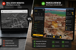
Traditional property maps have long been used to display parcel boundaries and basic location information. While useful, many of these tools provide only static visuals and limited context. Buyers are often left trying to interpret terrain, surroundings, road access, and nearby features using disconnected screenshots or outdated imagery.
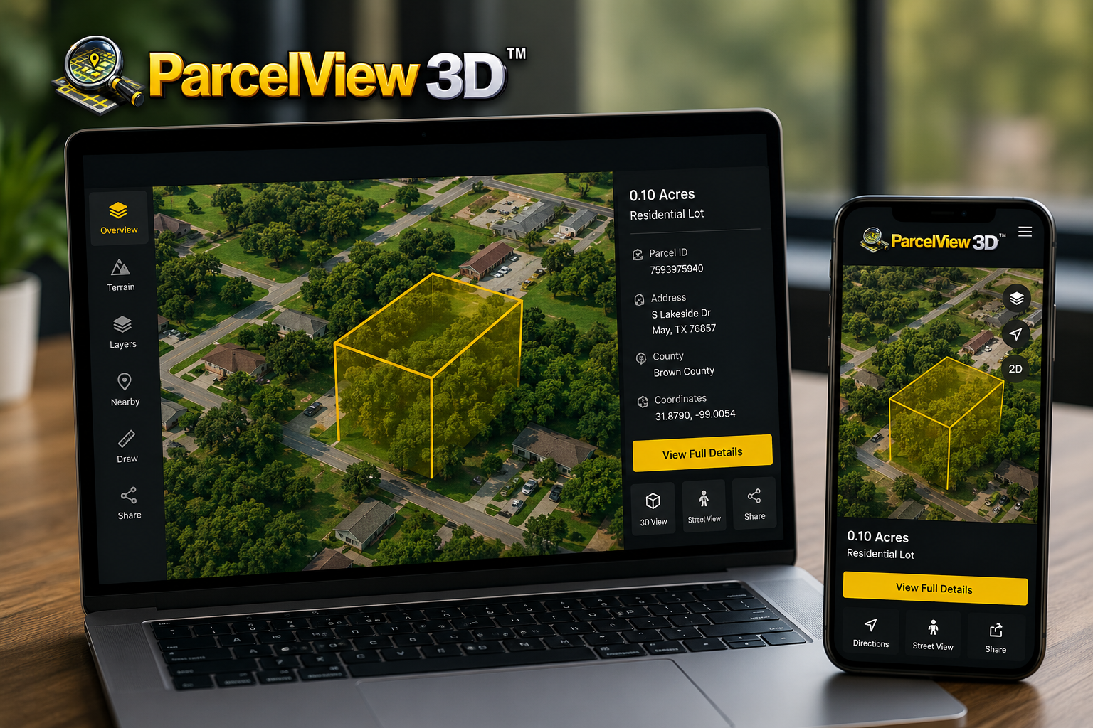
ParcelView3D takes a different approach.
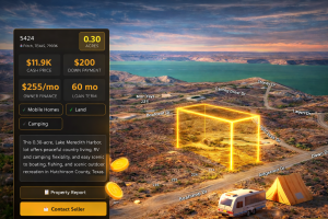
Instead of relying solely on flat parcel displays, ParcelView3D creates a more immersive and user-friendly property viewing experience that helps buyers better understand the land they are researching. From terrain visibility to surrounding property context, ParcelView3D is designed to make remote land exploration easier, clearer, and more engaging.
Why Property Visualization Matters
Vacant land is different from residential real estate.
When buying a house, buyers can easily view interior photos, videos, and detailed walkthroughs. Land buyers often don’t have the same level of visual information available. This makes understanding the property much harder — especially when purchasing remotely.
Important questions buyers commonly ask include:
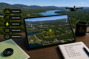
• What does the terrain actually look like?
• Is the property flat or sloped?
• What surrounds the parcel?
• How accessible is the land?
• Are neighboring properties developed?
• What is the overall feel of the area?
Traditional maps can answer some of these questions, but often only partially. ParcelView3D is designed to bridge that gap by giving buyers a more natural and intuitive understanding of the property and its surroundings.
| Feature | Traditional Property Maps | ParcelView3D |
|---|---|---|
| Basic Parcel Boundaries | Yes | Yes |
| Interactive Property Exploration | Limited | Yes |
| Immersive Viewing Experience | No | Yes |
| Terrain Visualization | Basic | Enhanced |
| Remote Property Evaluation | Moderate | Excellent |
| User-Friendly Interface | Varies | Designed for Simplicity |
| Mobile Viewing Experience | Basic | Optimized |
| Visual Context of Surroundings | Limited | Expanded |
| Property Access Visibility | Minimal | Improved |
| Buyer Engagement | Standard | High |
| Modern Viewing Experience | Limited | Yes |