Loading 3D View...
⚠️ Boundary lines shown are approximate and for illustrative purposes only. A professional land survey is recommended to verify exact property boundaries.
Photos & Images
📸 Property Photos
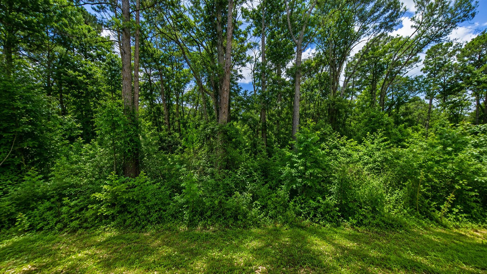
Featured ★
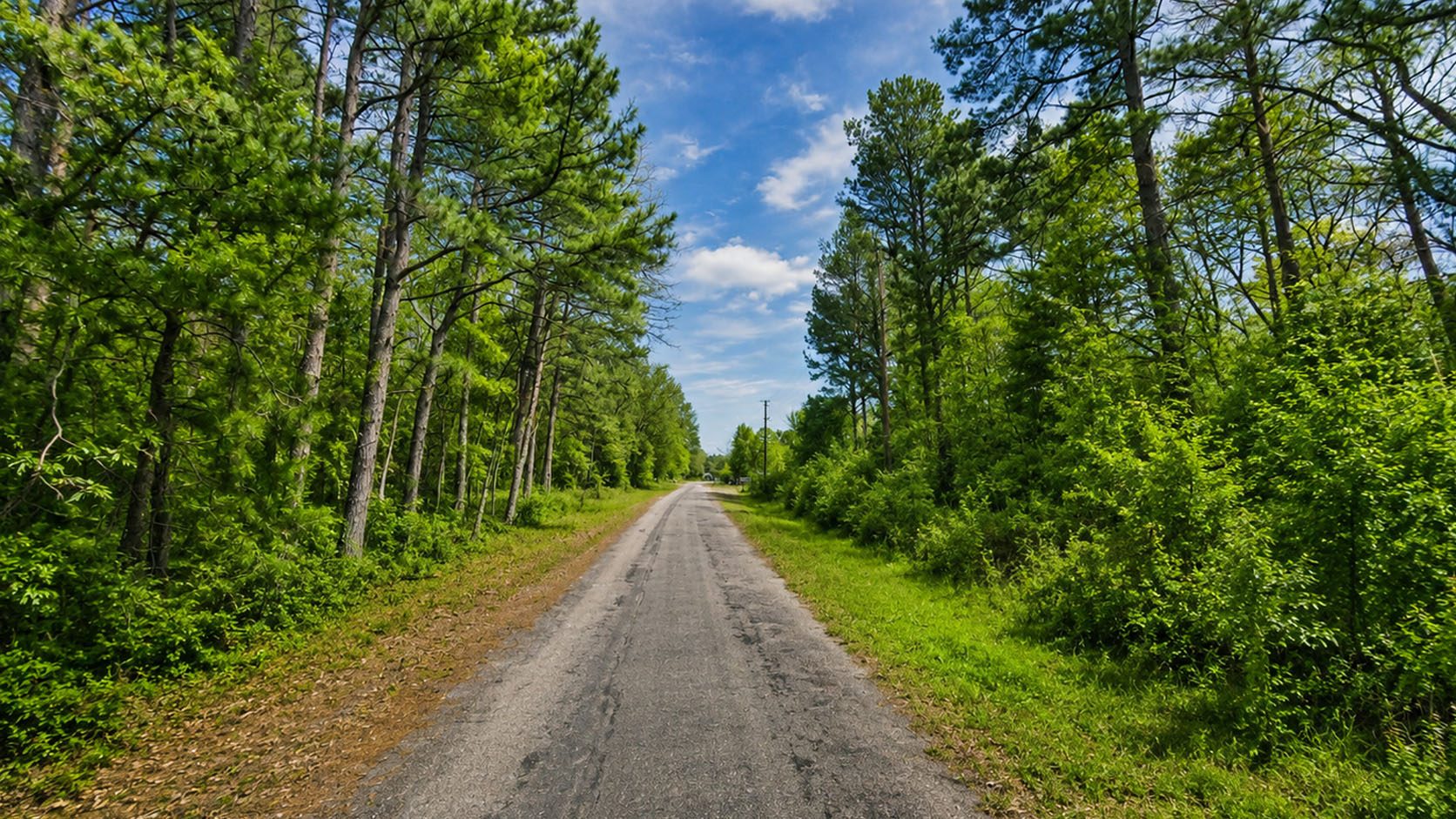
Photo 2
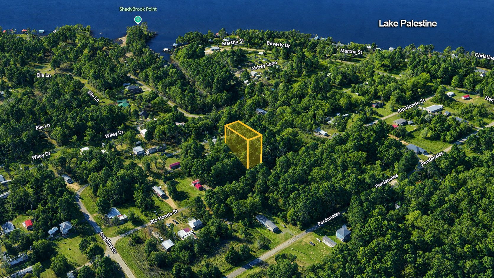
Photo 3
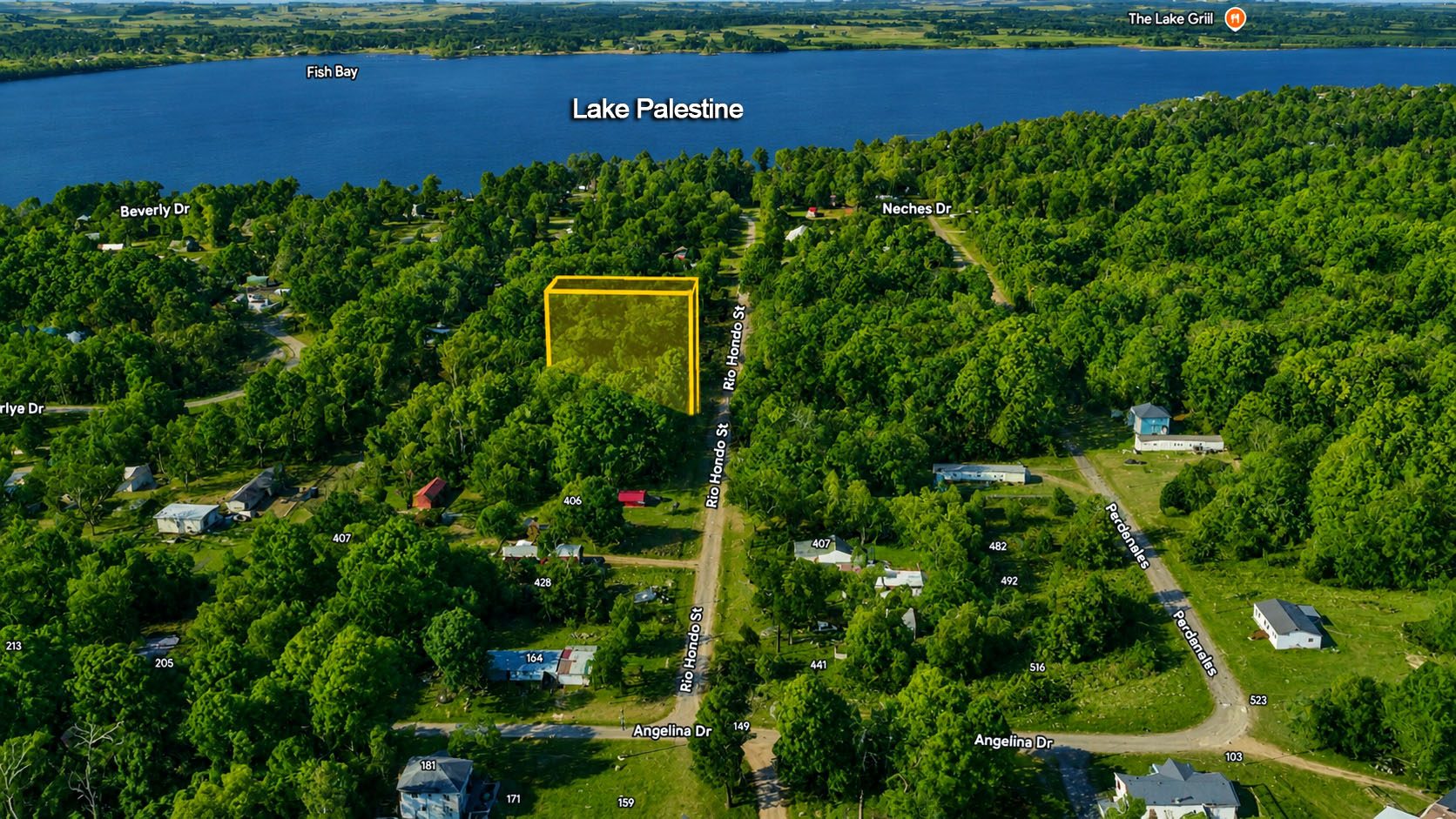
Photo 4
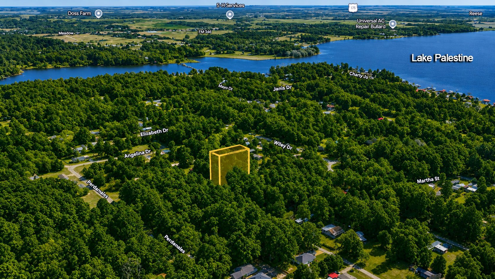
Photo 5
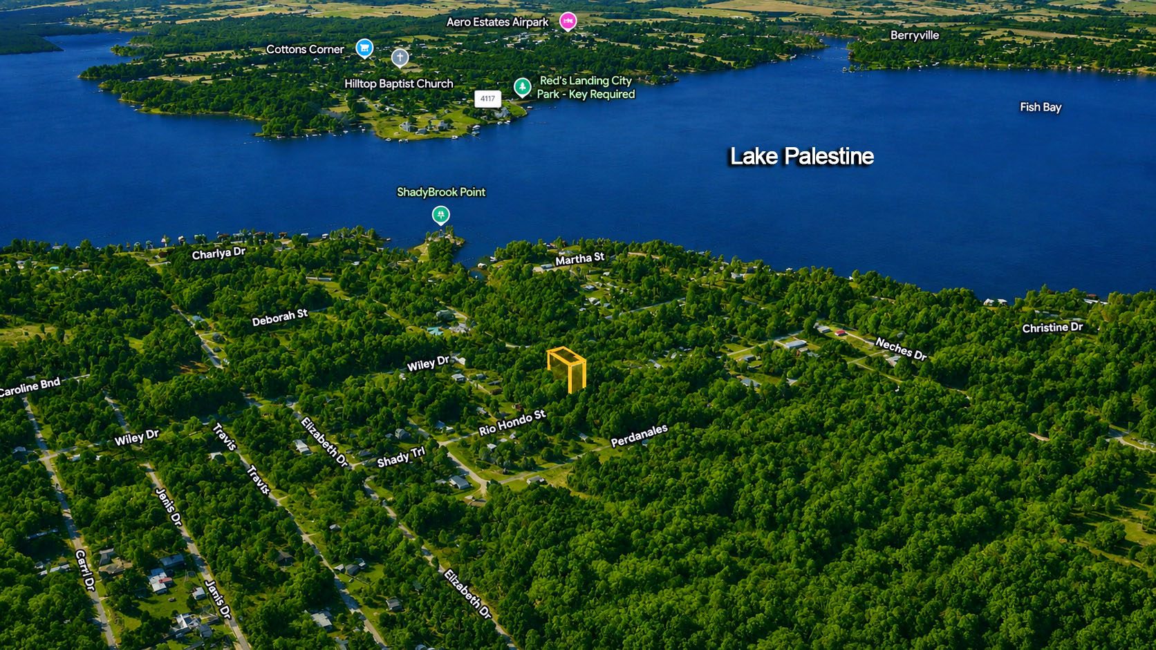
Photo 6
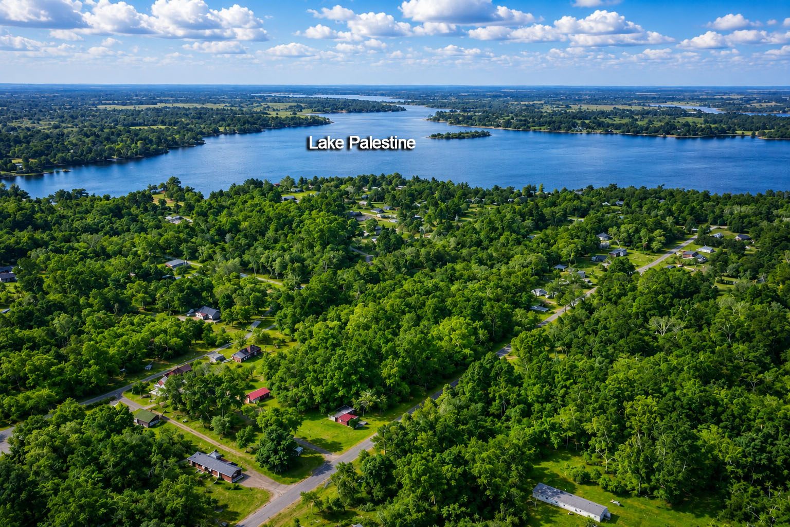
Photo 7
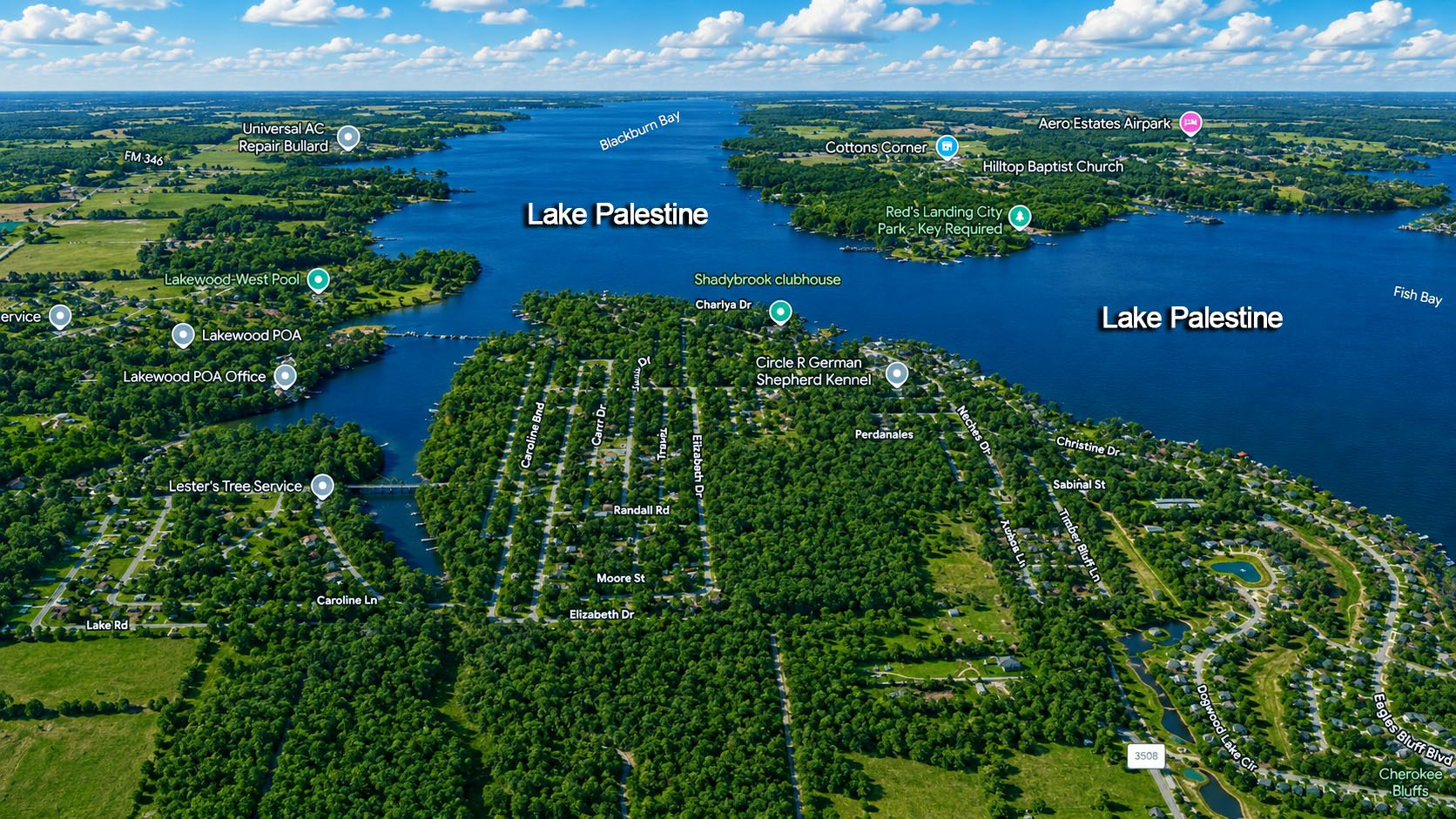
Photo 8
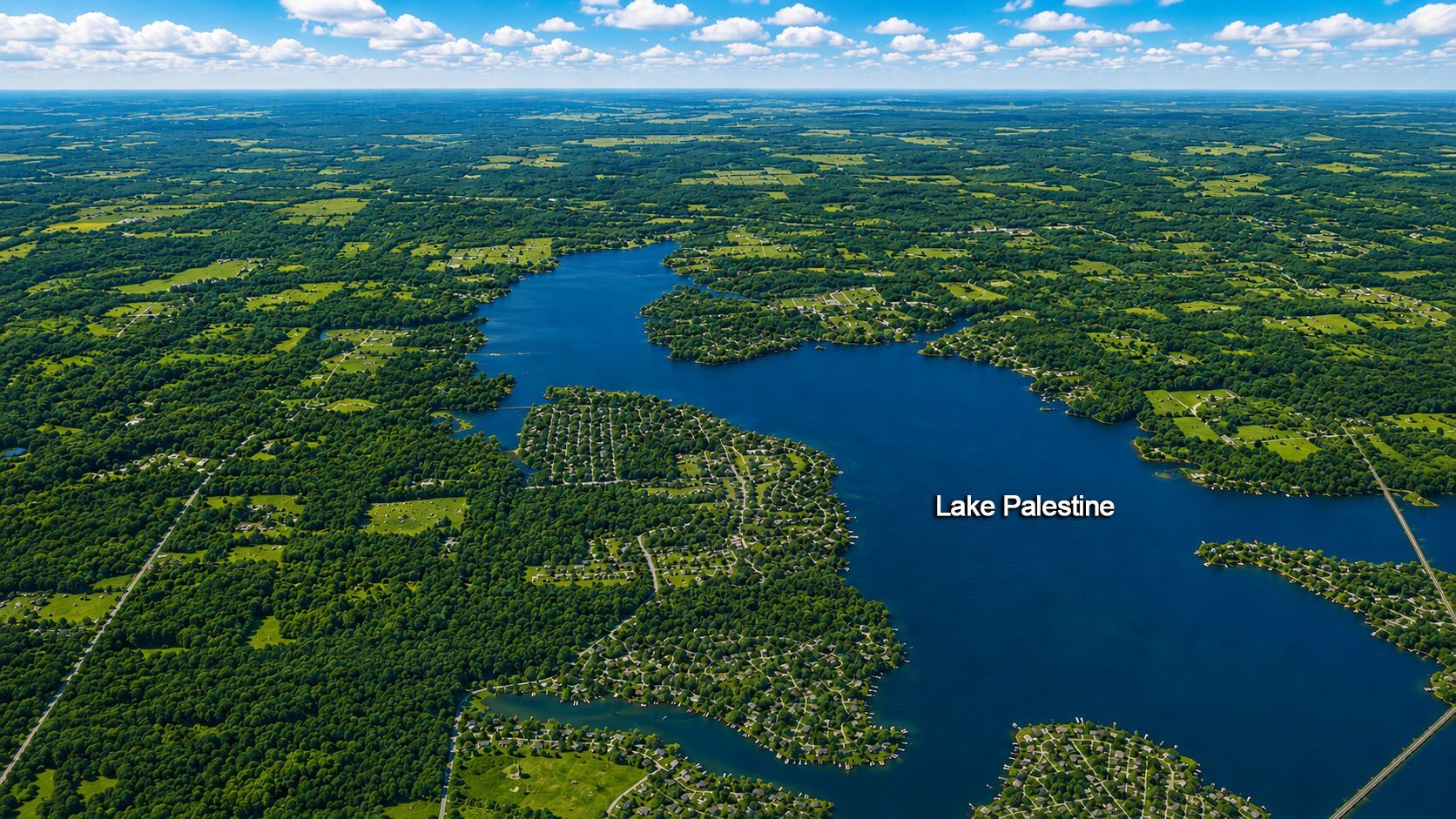
Photo 9
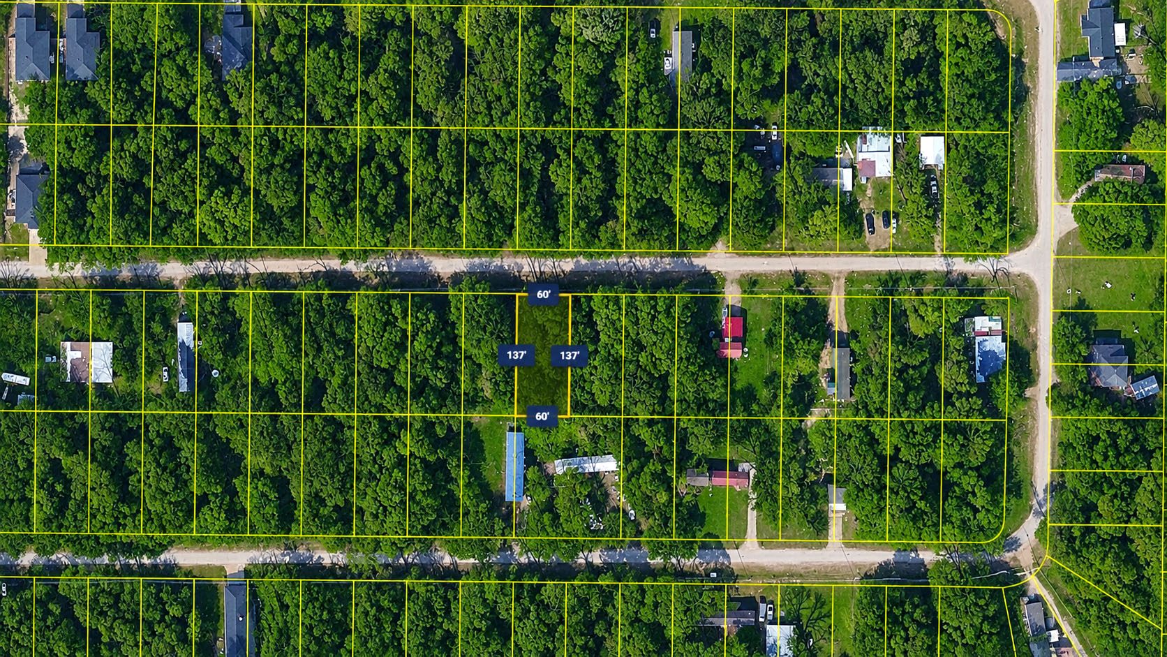
Photo 10
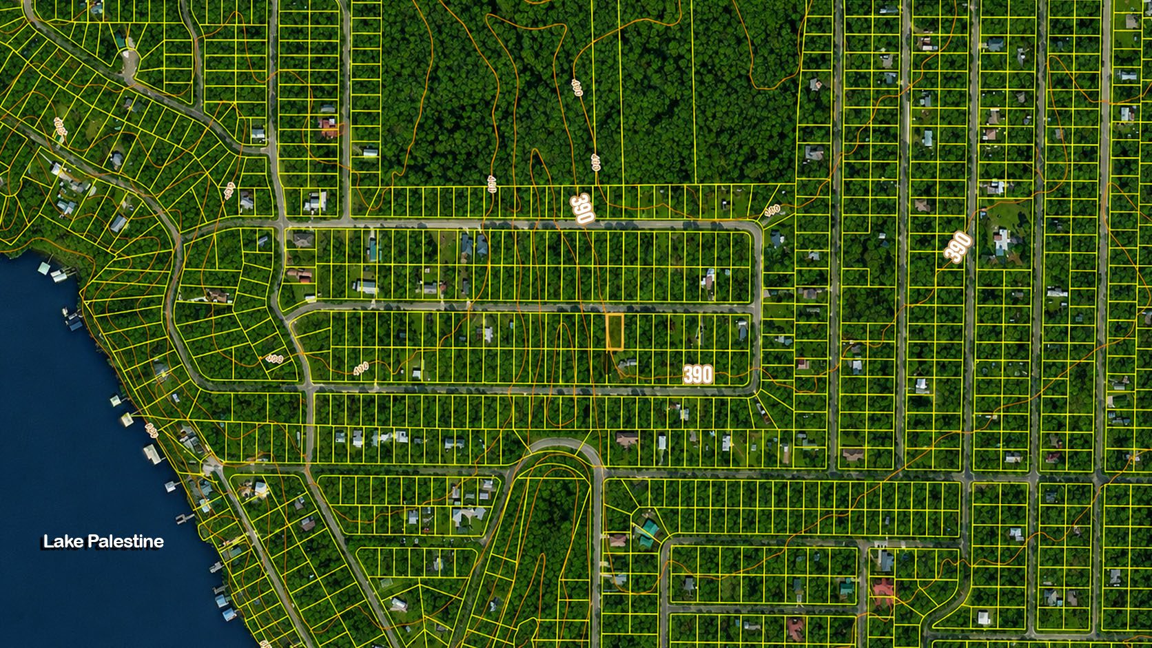
Photo 11
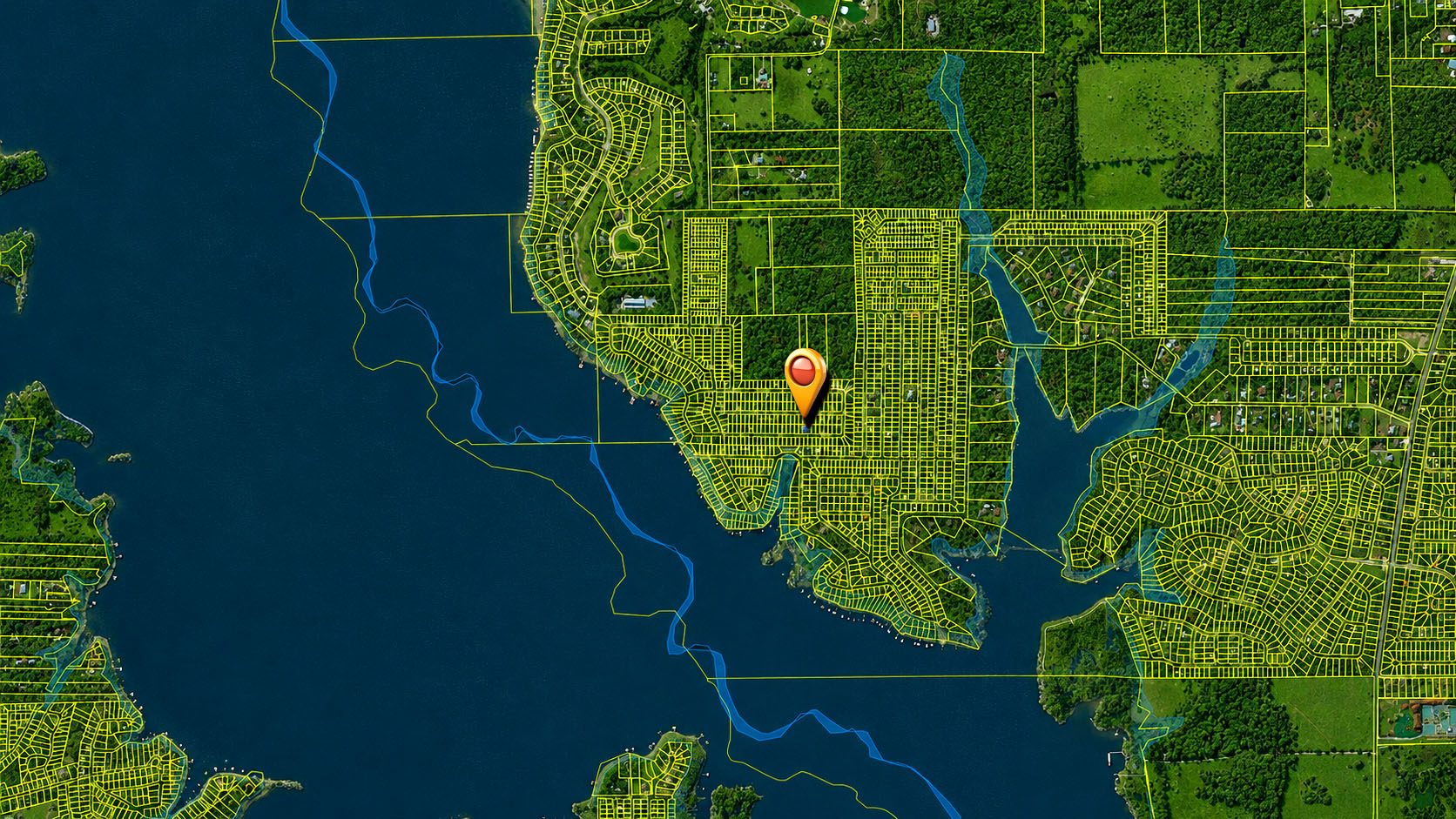
Photo 12
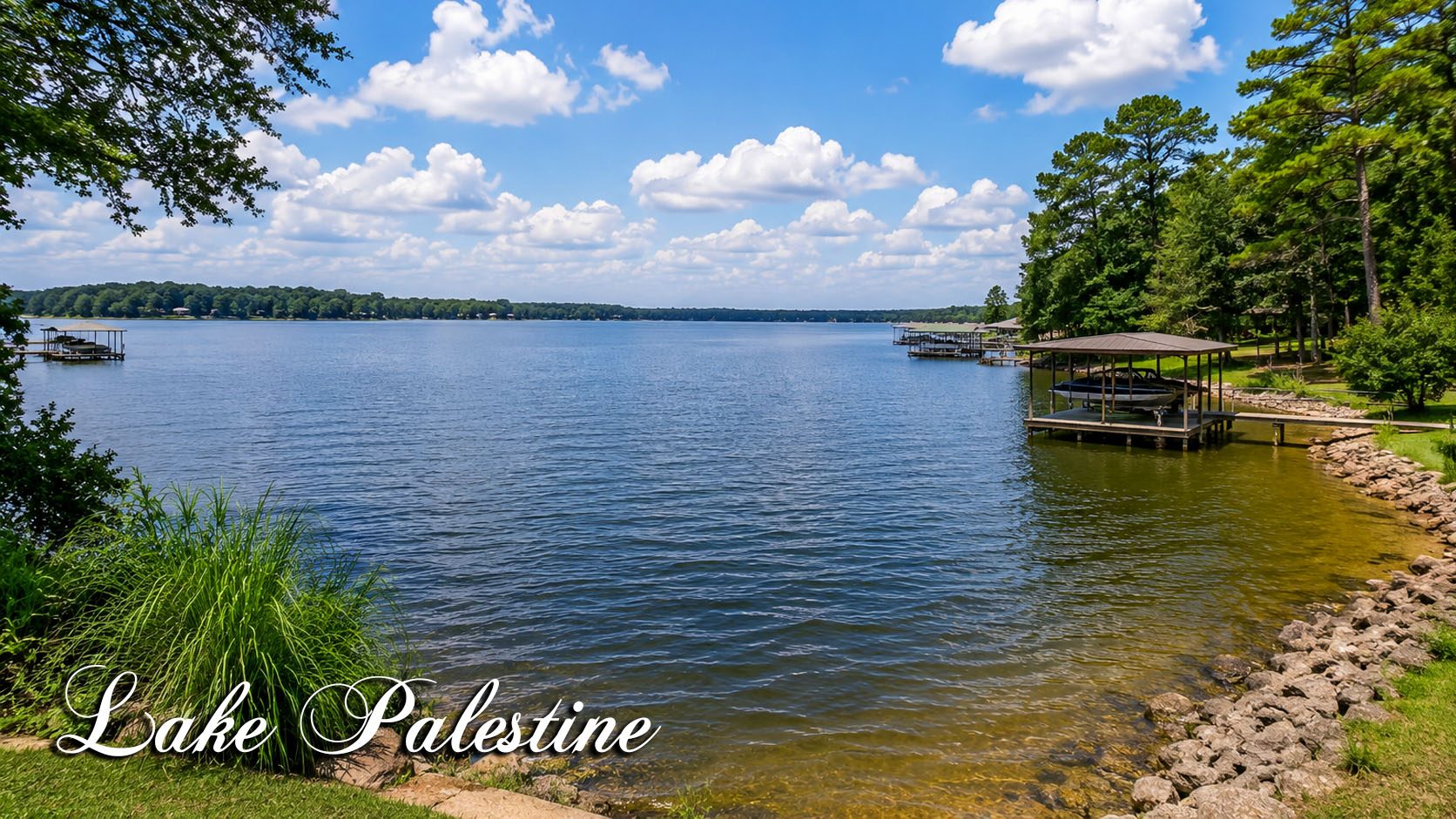
Photo 13
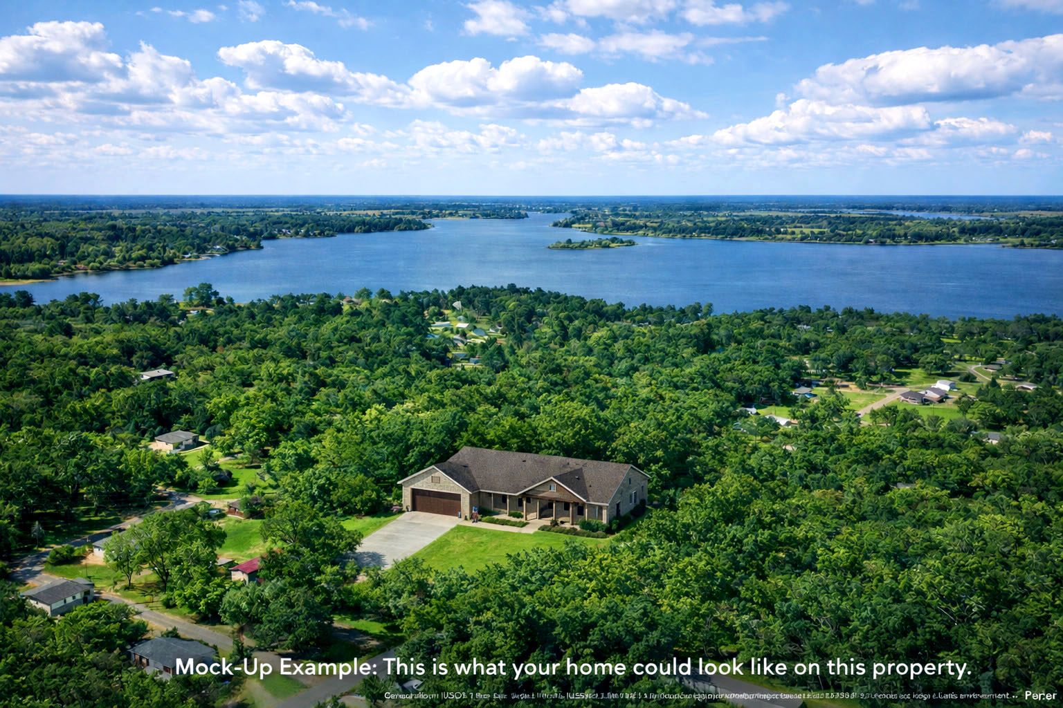
Photo 14
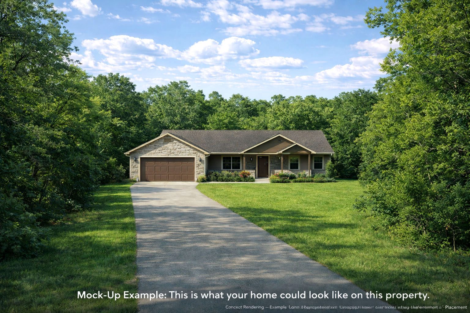
Photo 15
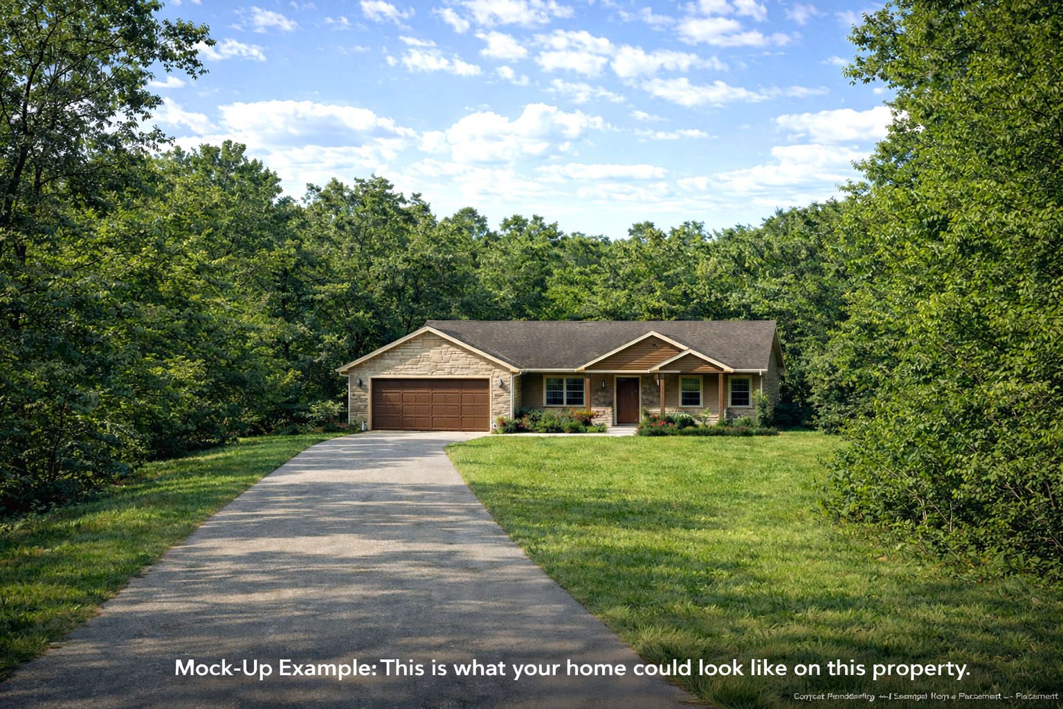
Photo 16

Photo 17

Photo 18

Photo 19

Photo 20
📍
Nearby Places
Finding nearby places…
📋 Property Report
📍 Location
Address
348 Rio Hondo St
City
Bullard
County
Cherokee
State
Texas
Zip
75757
Latitude
32.1080245
Longitude
-95.4370945
Elevation
387.40 ft
Municipality
Mount Selman
🔑 Parcel ID
APN
532450000
Robust ID
AAC7yXd5xD5SKFgE
County FIPS
48073
🌿 Land Details
Acres (Deeded)
0.19
Terrain
Level
🌊 Flood & School
School District
Bullard Independent School District
📋 Legal
Legal Description
LOT 190 BLK 4 LAKE PALESTINE SHADYBROOK 60X137 - BISD
🌎 Climate Risk
Minimal
Fire Risk
2 / 10
Minimal
Flood Risk
1 / 10
Moderate
Heat Risk
6 / 10
Moderate
Wind Risk
5 / 10
Source: USFS Wildfire Hazard Potential, FEMA NFHL