Loading 3D View...
⚠️ Boundary lines shown are approximate and for illustrative purposes only. A professional land survey is recommended to verify exact property boundaries.
Photos & Images
📸 Property Photos
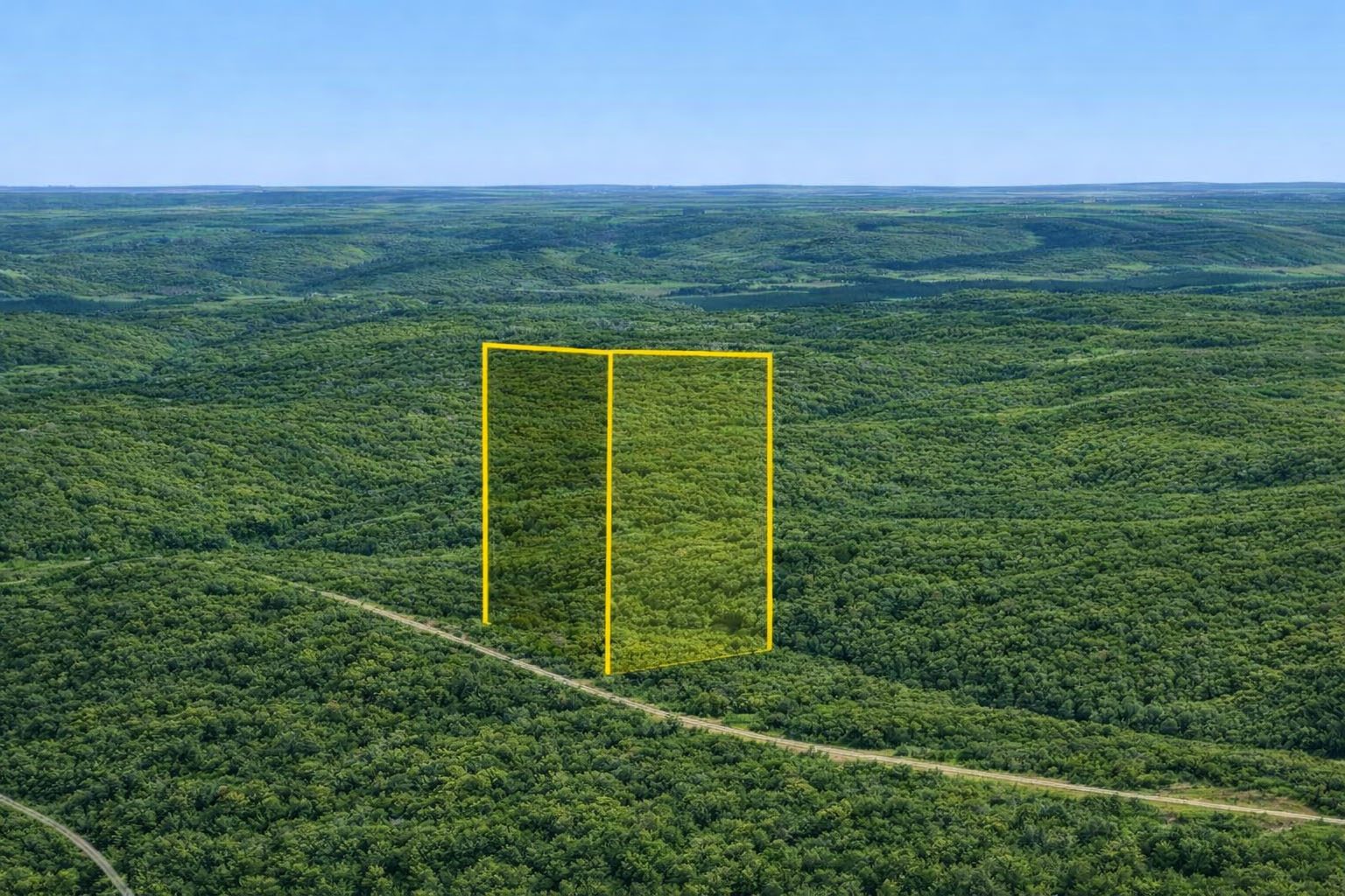
Photo 1
📍
Nearby Places
Finding nearby places…
📋 Property Report
📍 Location
Address
Ridge Crest Dr
City
Eucha
County
Delaware
State
Oklahoma
Zip
74342
Latitude
36.4809895
Longitude
-94.9167802
Elevation
868.30 ft
Municipality
Jay
🔑 Parcel ID
APN
210004282
Robust ID
AACcaSW-SFwQWb0Q
County FIPS
40041
🌿 Land Details
Acres (Deeded)
0.24
Terrain
Gently Sloped
Land Use
Residential
Section-Twp-Range
14-23N-22E
🌊 Flood & School
School District
Jay Public Schools
📋 Legal
Legal Description
LAKEMONT SHORES VALLEY VIEW LOT 20 BLK 4 1719-885 2594-531