Loading 3D View...
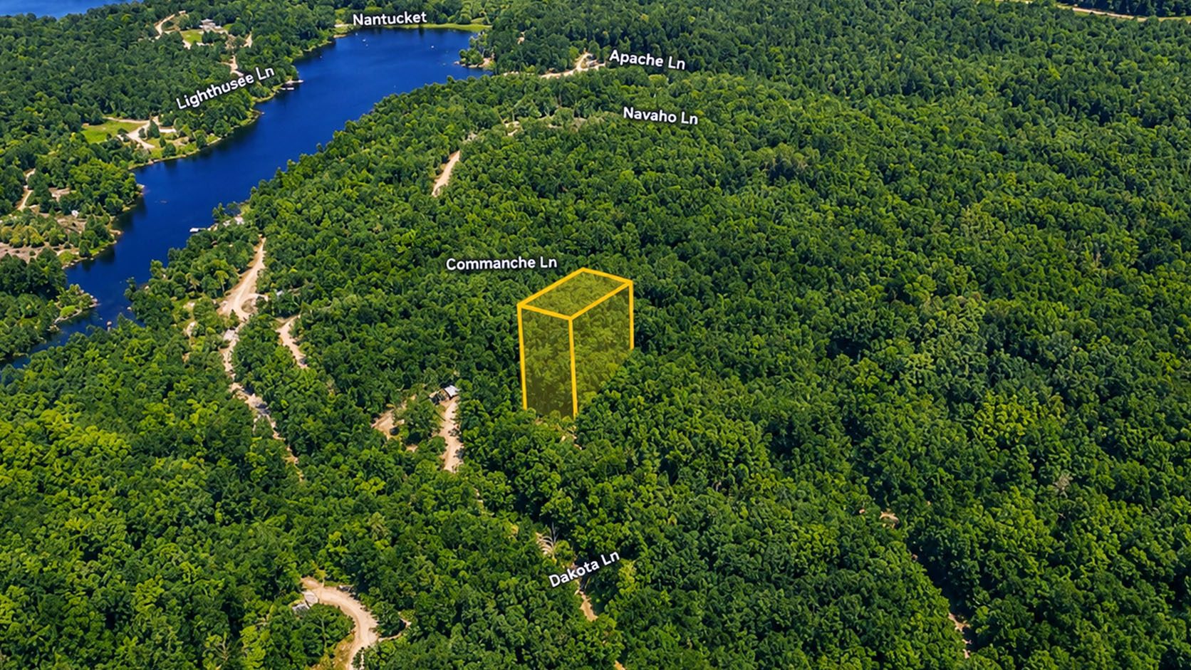
⚠️ Boundary lines shown are approximate and for illustrative purposes only. A professional land survey is recommended to verify exact property boundaries.
Photos & Images
📸 Property Photos
Featured ★
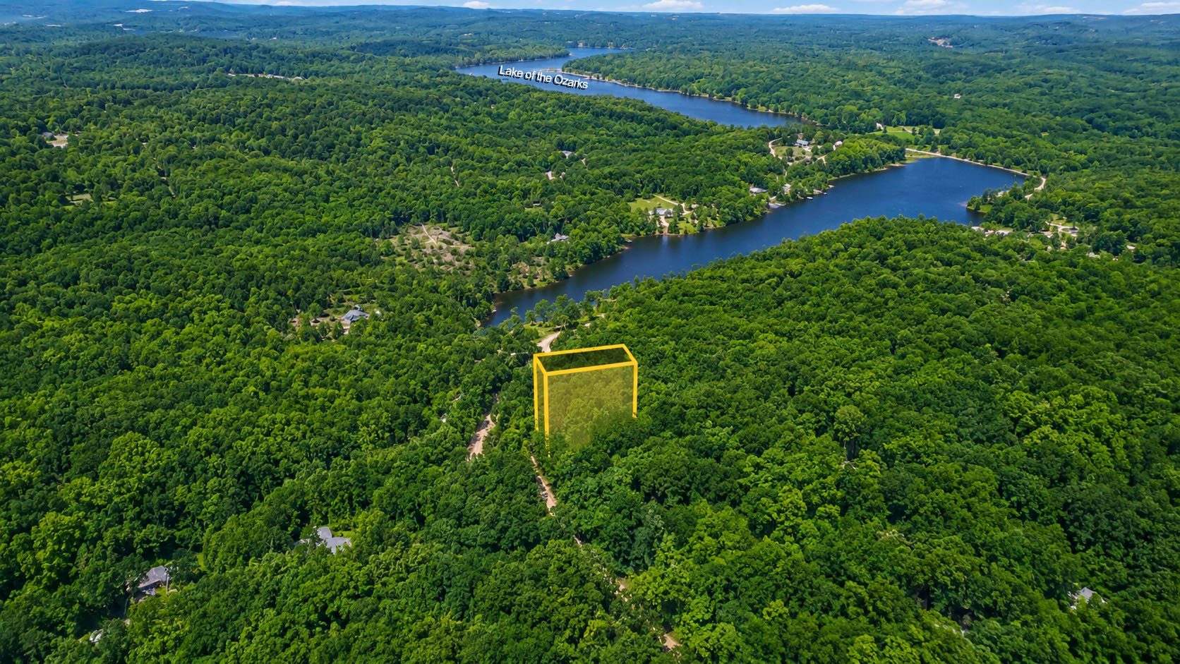
Photo 2
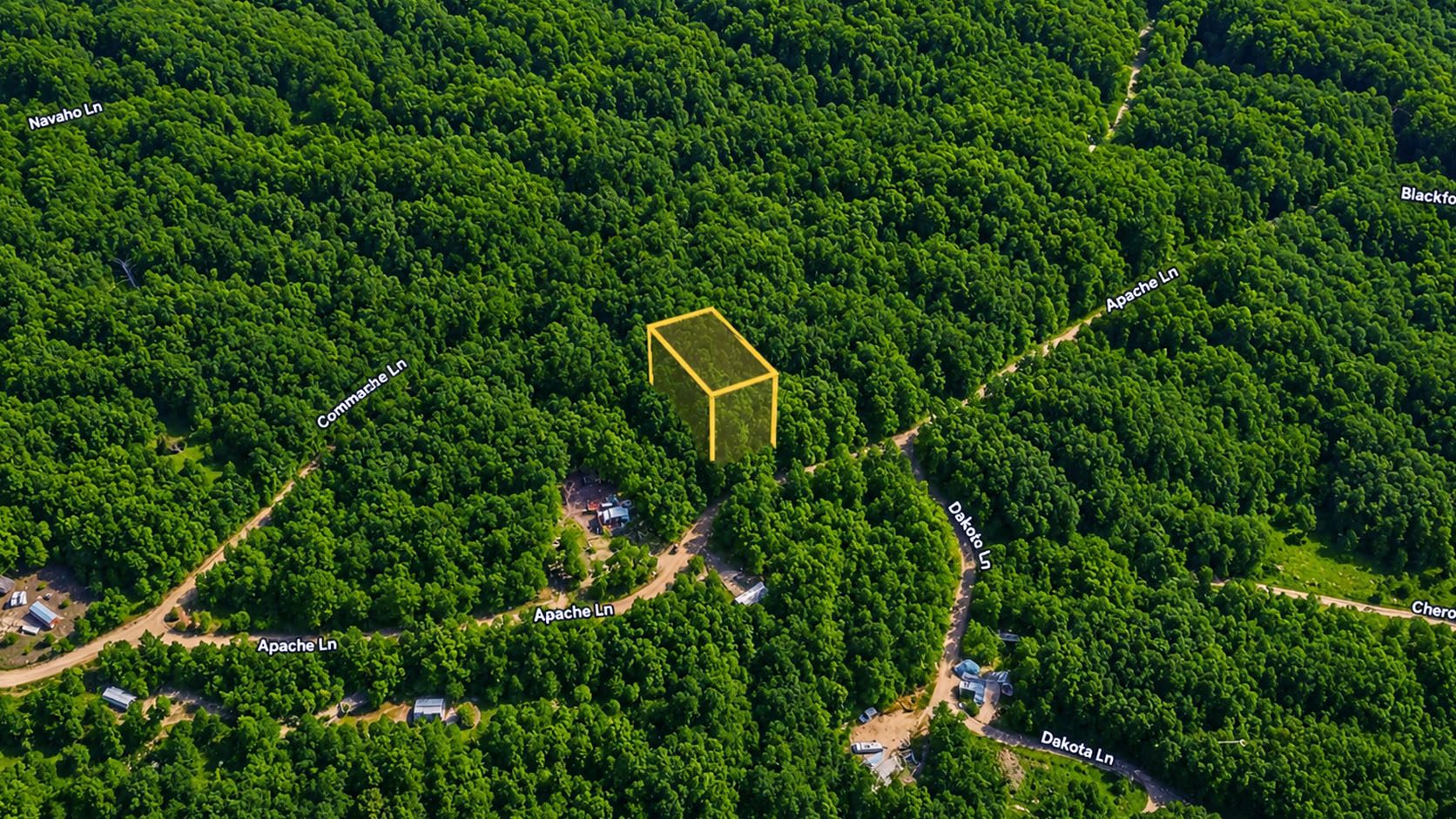
Photo 3
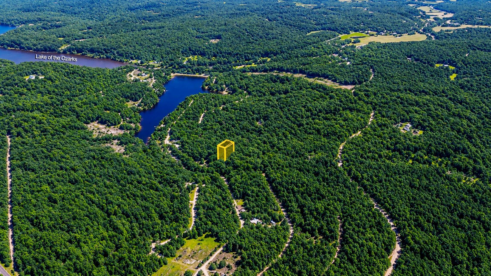
Photo 4
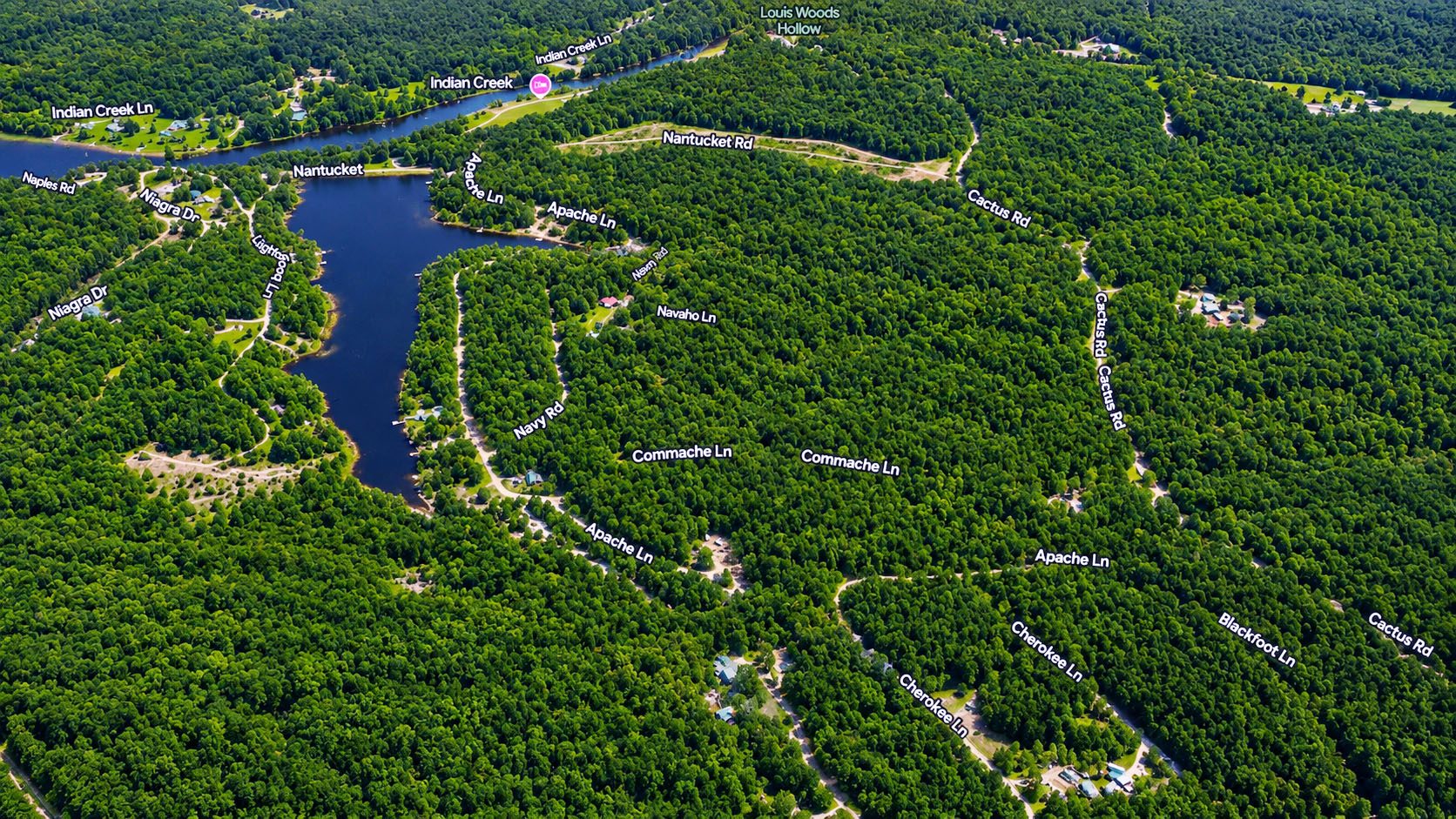
Photo 5
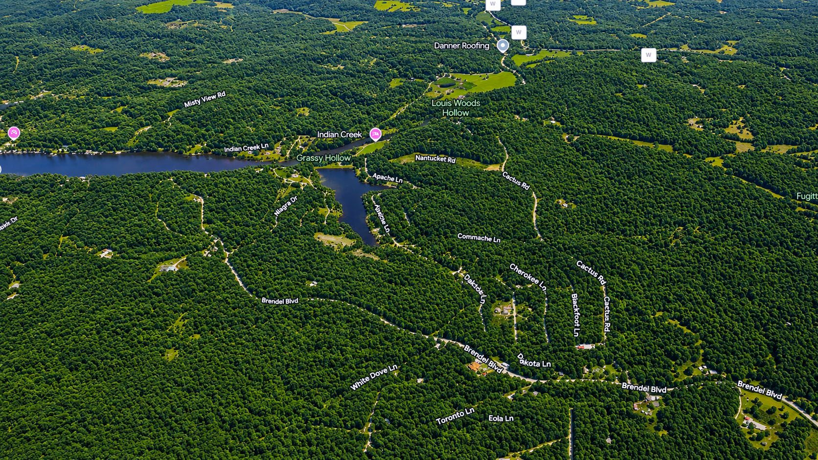
Photo 6
Photo 7
Photo 8

Photo 9
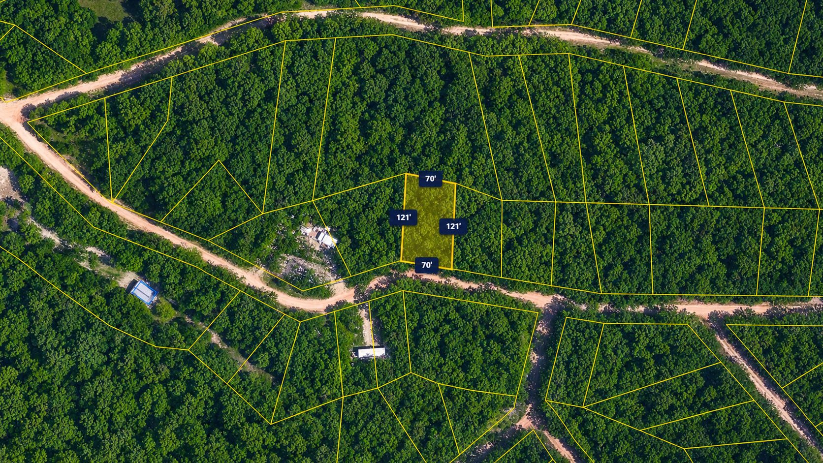
Photo 10
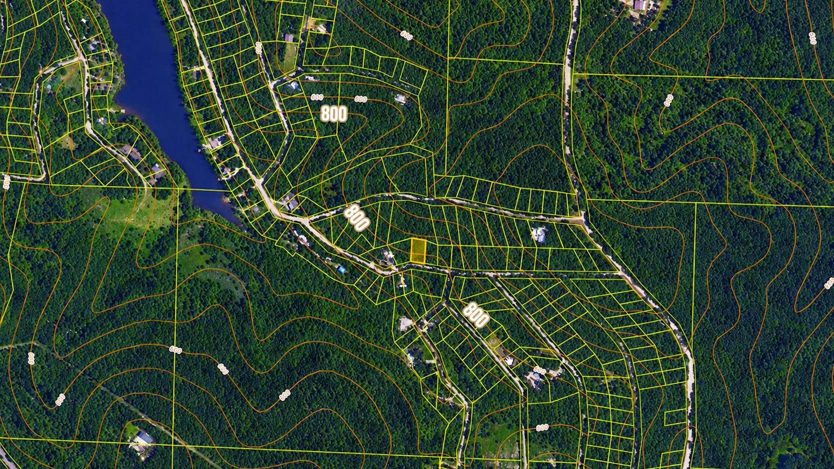
Photo 11
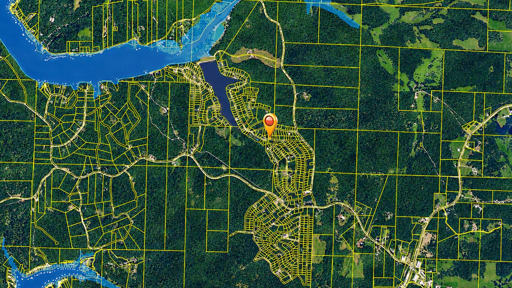
Photo 12
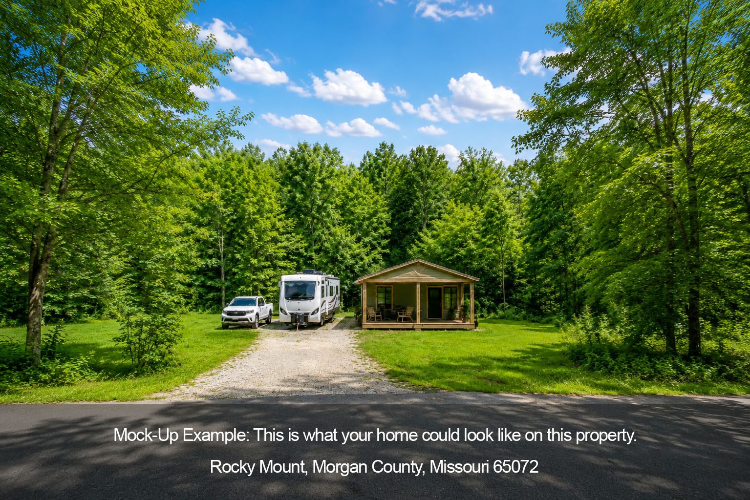
Photo 13

Photo 14
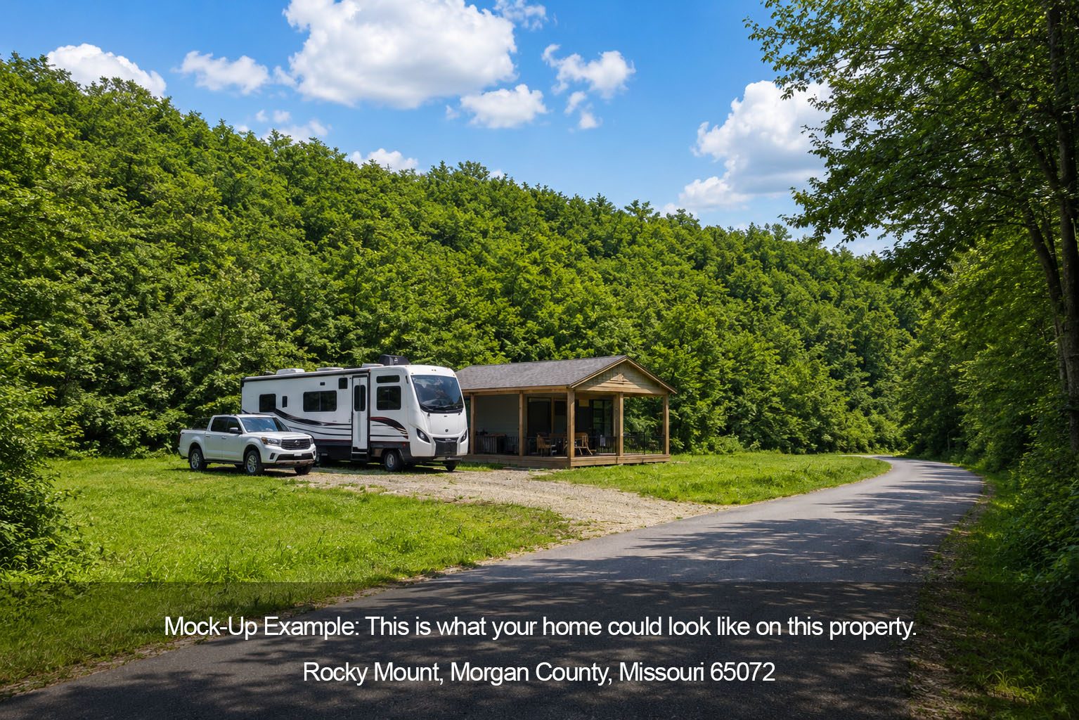
Photo 15
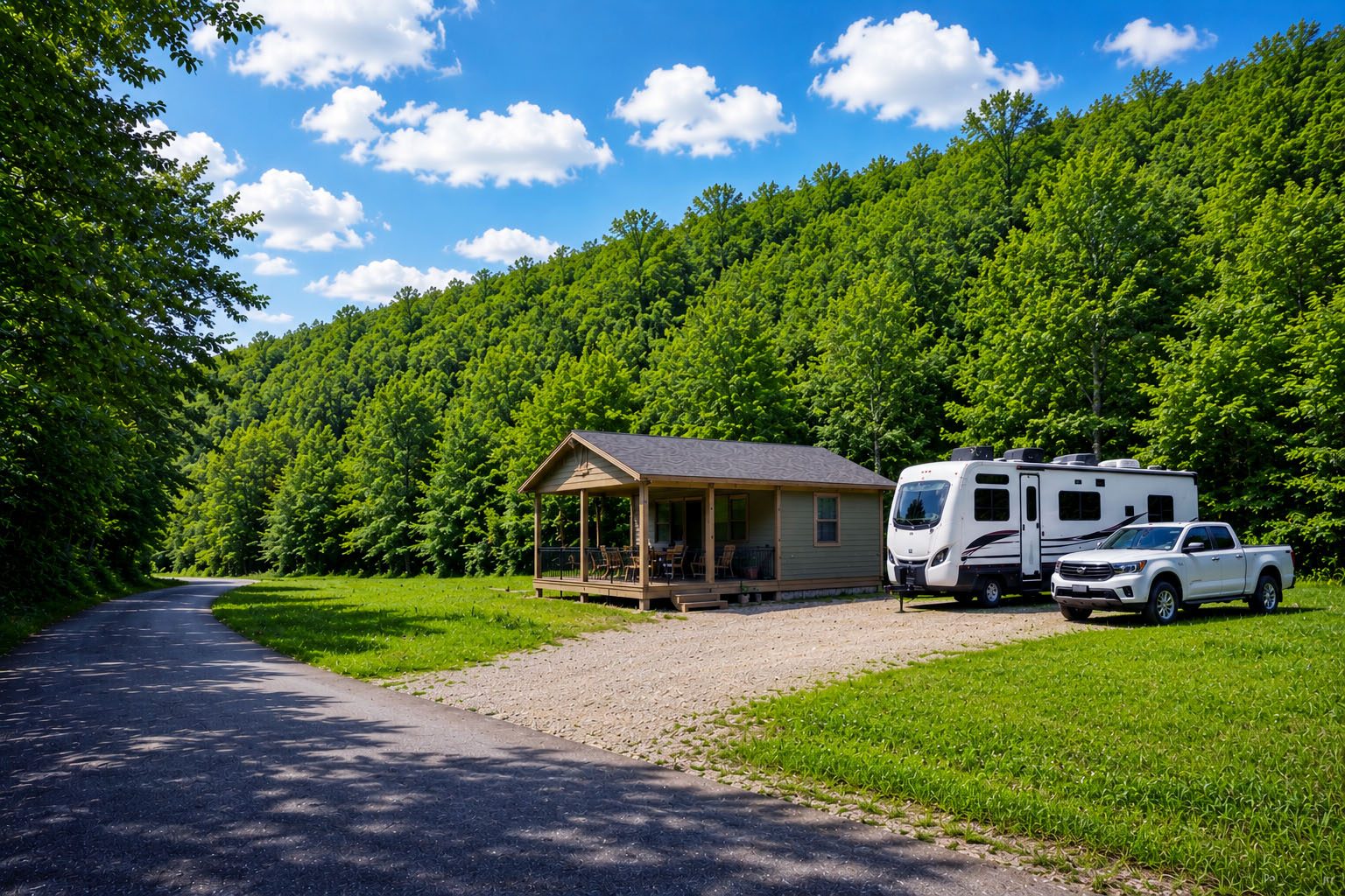
Photo 16

Photo 17

Photo 18

Photo 19

Photo 20
📍
Nearby Places
Finding nearby places…
📋 Property Report
📍 Location
Address
Apache Ln
City
Rocky Mount
County
Morgan
State
Missouri
Zip
65072
Latitude
38.2938984
Longitude
-92.7205159
Elevation
808.10 ft
Municipality
Osage
🔑 Parcel ID
APN
14-4.0-20-300-015-008.000
Robust ID
AABx1ZaQ_rNzjK5b
County FIPS
29141
🌿 Land Details
Acres (Deeded)
0.19
Terrain
Gently Sloped
Section-Twp-Range
20-41N-16W
🌊 Flood & School
School District
Eldon R-I School District
📋 Legal
Legal Description
LOT 198; INDIAN CREEK HILLS #6; 70' X 121.4' IRR
🌎 Climate Risk
Minimal
Fire Risk
1 / 10
Minimal
Flood Risk
1 / 10
Moderate
Heat Risk
4 / 10
Minimal
Wind Risk
2 / 10
Source: USFS Wildfire Hazard Potential, FEMA NFHL